Back to StoriesTaking Account of Gallatin County
March 26, 2024
Taking Account of Gallatin CountyOfficials seek public input to inform Future Land Use Map and Housing Strategy
Story and photos by David Tucker
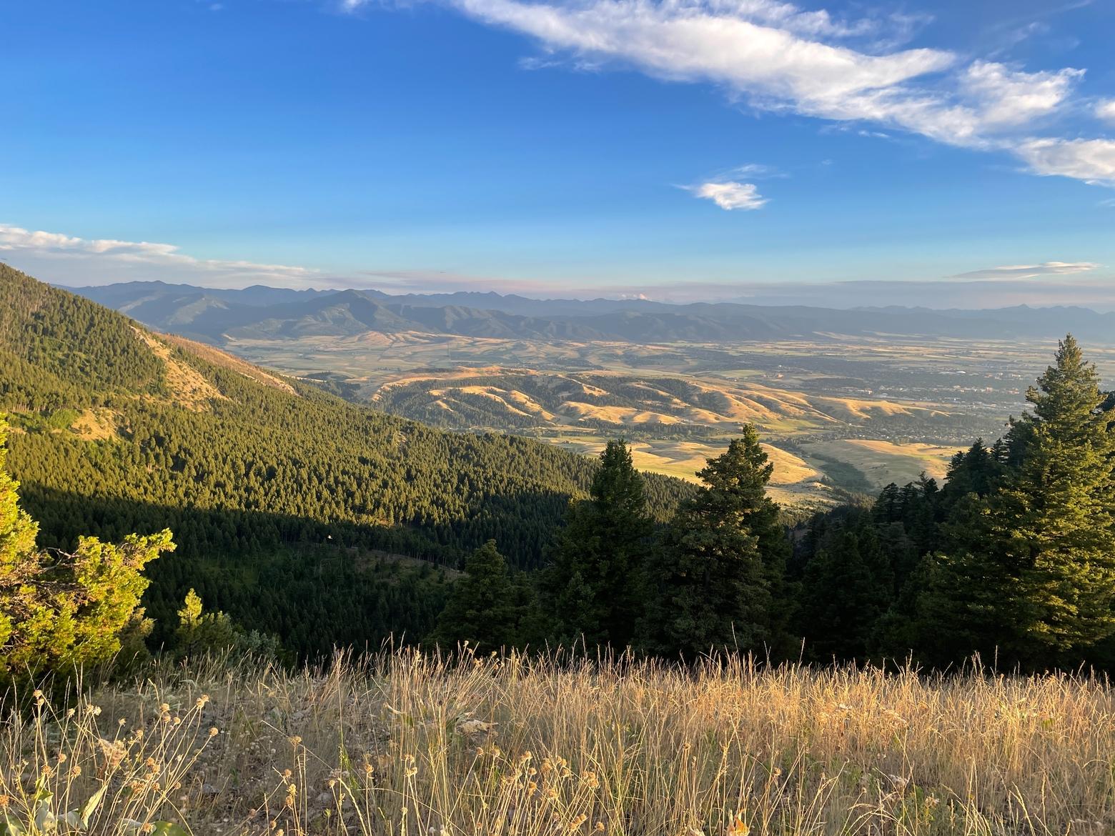
Looking west from the high ridge of the
Bridger Range, the vast expanse of the Gallatin Valley rolls out in front of you.
From that great height, the staggering majority of the landscape appears undeveloped,
much of it still agricultural, and some of it even wild.
But change is afoot.
According to a recent Headwaters Economics report,
nearly 68,000 acres of Gallatin County were converted to housing between 2000
and 2021. Close to 20,000 new homes were built in the county during that period,
27 percent of which were on large lots of 10 acres or more, contributing to
increased sprawl and habitat fragmentation. Given the continued growth trends
of the past three years, many more acres likely have been converted to housing
since.
In light of this trend, county officials
are hoping to better plan future development through the creation of a Future
Land Use Map, a directive of the 2021 Growth Policy
and required by Montana law. Gallatin County Planning Director Sean O’Callaghan
says the FLUM will offer the county a roadmap as the area continues to see
significant growth.
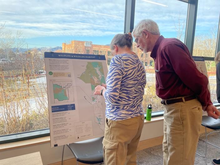
“[The FLUM] will guide the type,
intensity and location for future development,” O’Callaghan said at a March 19 public
meeting at the Bozeman Library, “as well as showing areas that should not be
developed, areas that should be more or less preserved to maintain what’s there
today.”
What’s there today is still a lot of
high-quality habitat, productive agricultural land and critical water
resources. According to the Gallatin County Land Use Profile,
nearly 53 percent of privately-owned land in Gallatin County is high-value
wildlife habitat, and an additional 30 percent is “core” wildlife habitat, or
land heavily used by wildlife and areas that are essential to the survival of
significant species. As the Land Use Profile notes, a decrease in habitat will
lead to a decrease in wildlife, which means there is still plenty of land left
to potentially preserve if wildlife populations are to be protected.
The above percentages do not include
federal- and state-managed public lands, indicating much of the quality habitat
in the county overlaps with agricultural operations. As such, habitat is
protected if the valley’s agricultural heritage is maintained, a key goal,
according to the Land Use Profile.
Beyond providing wildlife habitat, local
food production that utilizes irrigation also provides “important ecosystem
services, such as maintaining valley water budgets and supporting groundwater
recharge,” the report says.
Currently, nearly 24 percent of all land
in Gallatin County is farmland, and up to 90 percent of land in the Triangle
Plus subarea—roughly Belgrade to Bozeman to Four Corners to Belgrade—is also
designated farmland, making even the county’s most heavily developed areas
critical habitat that provides key ecosystem services.
"We know that ag is important. We know that wildlife habitat is important. We know that housing is important. How do we balance all those things and provide a more predictable environment for the future?” – Darcie White, Clarion Associates
Because most current and future land-use
change is related to the desire for more housing, a Housing Strategy
is a parallel effort of the FLUM. While residential development accounts for
just over 3 percent of total land use, where and what category of housing gets
built in the coming decades will have significant impacts.
“All of this information is our foundation for this
suitability analysis that we’re going to be doing,” said Darcie White of Clarion
Associates, the consultants Gallatin County hired for the FLUM and Housing Strategy. “And that is really to help us answer the question,
‘where should future development be encouraged or not?’ That is really the
million-dollar question for this project … We know that ag is important. We
know that wildlife habitat is important. We know that housing is important. How
do we balance all those things and provide a more predictable environment for
the future?”
With the FLUM project underway, now is the time for local
residents and other concerned parties to weigh in. An online story map provides the
opportunity for public comment that will help inform the final recommendations.
“When you came to this meeting was it because you really care about ag land?
Was it wildlife? What’s most important to you? That’s really going to help
inform the analysis that helps us develop those criteria to think about where
development is more or less suitable,” White told the audience.
While in-person meetings have passed, a virtual presentation is scheduled for March 28 from 6-7:30 p.m., and comments
will be collected here until April 14.
________________________________________________________________________________________________________________________
Mountain Journal is the only nonprofit, public-interest journalism organization of its kind dedicated to covering the wildlife and wild lands of Greater Yellowstone. We take pride in our work, yet to keep bold, independent journalism free, we need your support. Please donate here. Thank you.
Related Stories
February 2, 2024
Pair of Wildlife Diseases Detected in Montana Birds
Recent avian flu and pigeon
paramyxovirus detections prompted FWP to issue a statement last month informing residents to be aware and diligent...
October 16, 2024
Single-Use Plastics Ban on Bozeman Ballot
Following an initial
disqualification, a ballot initiative on plastic bags proceeds to the polls in
November.
November 19, 2024
High Density of Free-Roaming Horses Linked to Decline of Greater Sage-Grouse
A recent study explores the detrimental
effects of large horse populations on chicks and juvenile birds.


