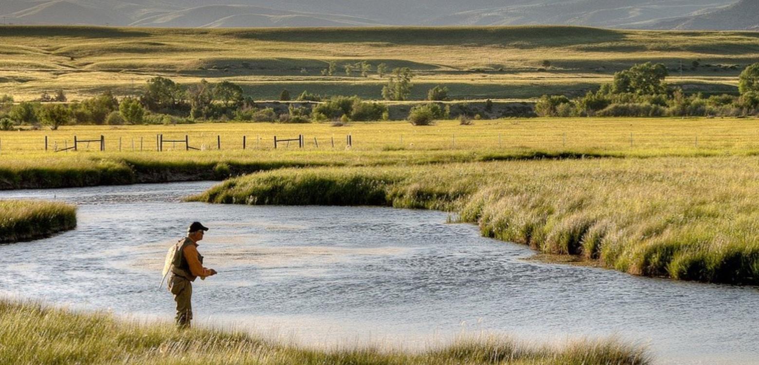
O'Dell Creek in the Madison Valley, photo courtesy River Design Group (www.riverdesigngroup.com)
I like holding them in my hand. I'm holding one now and I am thinking about trout.
Maps let me know where I am, where I have been and where I might be headed in the future. But I never expected that my interest in fishing might lead to me becoming part of a map-making team.
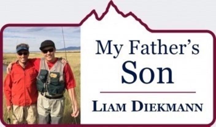
When I received my first lesson in "cartography", it was already past the time of the solstice when I left home in Bozeman to start my summer “job” in the Madison Valley. I was hired to work on the historic Granger and Longhorn cattle ranches.
My assignment was helping to map the reach and path of a spring creek that functions as an important tributary and spawning area for wild Montana trout.
I first learned of the project from my dear friend, the environmental engineer John Muhlfeld, more famously known as the elected mayor of Whitefish, Montana. He and my Dad were very close and he invited me to work on the project with him and a couple of his colleagues: Ryan Richardson, a fluvial geomorphologist, and Selita Ammondt, a wetland ecologist.
John’s company, River Design Group, Inc., is based in his hometown just outside Glacier National Park.
We were summoned to the valley by Jeff Laszlo, owner of both the Granger Ranch and the location of O’Dell Creek which spans 2,500 acres. Jeff is recognized as a national leader in private ranch-land restoration for commitment to putting the O'Dell Creek corridor and its complex of wetlands back into their natural state.
The purpose of our work was to determine the extent and growth of wetlands, which have been restored gradually through 11 different project phases involving federal and state government and a number of conservation organizations including the Montana Land Reliance and Trust for Public Land where my Dad worked. I know he would be please to play my own role in contributing to a vision that he, Jeff and John had in their minds.
And my Dad would have insisted that they not go gentle on me, that I earn my keep—and the privilege of pulling out the fly-rod by first getting wet, sweaty and dirty.
I had never been involved with mapping a landscape before and, being the youngest on the team, I was relegated to the role of grunt, chief Polaris Ranger driver, and data collector.
"I thought the way you learned about trout was by catching them. But my project taught me how and why a good trout stream exists. Clean, cold water filled with healthy amounts of natural fish food doesn't just happen."
I thought the way you learned about trout was by catching them. But my project taught me how and why a good trout stream exists. Clean, cold water filled with healthy amounts of natural fish food doesn't just happen. To John and Jeff, there's a science behind.
Along O'Dell, we used two methods to remotely
sense wetland acreage at the project site. First, we collected high-resolution
aerial photographs using a low-flying drone, specifically a DJI Inspire 1
Drone. We then surveyed over 50 Global Positioning System (GPS) ground targets
in the field to geo-reference the images.
The timing of the aerial photo
collection we put together coincided with the dry season in the summer, so that wetland areas
would be apparent against the backdrop of dry uplands or non-wetland areas. Our investigation included characterizing vegetation, soil, and hydrology at each sampling
site.
My primary duty was to set down
55 black tarps/targets over the course of wetlands and riparian areas in an
area measuring approximately four miles long by a mile wide, that the unique
and entirely spring‐fed
creek meanders through.
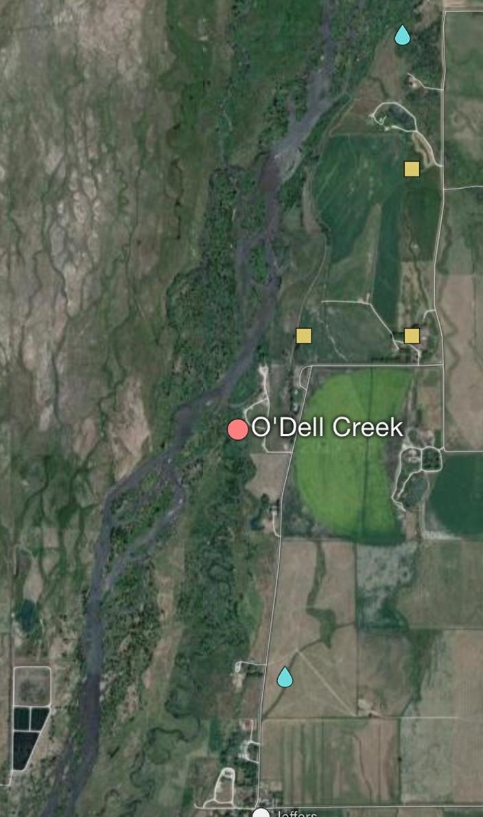
Liam Diekmann's project area encompassed O'Dell Creek and all of its reach, photo courtesy Mapcarta
Each day I would set out roughly 18 targets and, after
doing so, Ryan would use the drone to fly over the area that was covered in
targets to get aerial pictures.
Every five seconds the drone took a picture, and eventually we would be able to stitch together a map of the creek and adjacent wetlands from a bird’s
eye view. After Ryan was done flying his drone each day, I would go back
out and gather the targets that I had set out earlier, again walking past the surface ripples.
"Don't worry," John and Jeff would say. "There will be time to fish."
The placing of tarps and drone work was repeated
each day until we eventually covered all 2,500 acres.
Results will be used to better
understand how the O’Dell Creek restoration has improved wetland functions and
values that are related to the Madison River, including nutrient and sediment
filtration, and its influence on fish and wildlife habitat.
O'Dell is one of several important spawning habitats for trout coming out of the main stem of the Madison, so if you enjoy fishing the big river you need to appreciate the important role of its smaller tributaries.
Each workday
lasted from 10 to 12 hours, unless you were me. Then they lasted an extra four
hours if you include fishing after work and figuring you could sleep later.
There were a lot of things I started to see and realize that I hadn't before. It was fantastic, because every day I worked it stormed, and afterwards
there was a calm that came after the storm. The wind stopped, everything
became active again, and the bugs were hatching, making the fishing that much
better.
One evening Ryan and I cast
lines together in the old part of the restoration project where the ponds lay
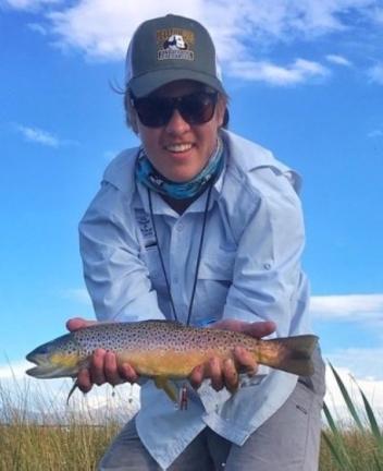
and where the creek used to run through. We caught browns and rainbows to
our hearts’ content. They were all beautiful and of good size, which is
great to see, because that means the restoration project is doing its job.
Catching
all of those fish was fun; however, what came near the end of the day
was breathtaking. “Watch this…,” I said to Ryan as I put on a mouse pattern the
size of my thumb.
“No f-ing way,” he replied.
As I started casting he looked away. I slapped the fly on the far bank, and
with the first strip of the line, a massive rainbow came rocketing out of the
water. He missed. Then he circled back, his dorsal fin creating a
wake from his size. He missed again, and again and again four more times!
I looked up at Ryan with a huge grin on my face when his jaw dropped.
I never managed to catch the
fish but Maya Angelou once said, “Life is not measured by the number
of breaths we take, but by the moments that take our breath
away.” That moment truly was breathtaking.
Being able to accompany
professional mappers in their work was an experience that I will never forget
and it gave me skills that I can apply to other things in my life – knowing how
to map nature in a way that opens my eyes to so much more. Thanks to two of my closest friends, John Muhlfeld and Jeff Laszlo, I can now say that I really do know every inch
of O’Dell Creek.
It's small but bigger and more complex that I ever imagined.

